Nov 14, 2017, 04.11 PM IST
Keeping a watch
Indian Space Research Organisation (Isro) is helping the Indian Railways use its satellite-based system to check accidents at unmanned railway crossings and track train movements on a real-time basis.
AFP
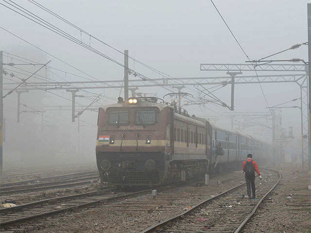
Testing underway
Isro and the Indian Railways have been working together on this pilot project since June. Under the project, IC chips have been installed on five engines of trains on different routes. The testing on the satellite-based hooter system has been going on since June to check if it is reliable and can function under different climatic conditions.
BCCL
Satellites used for the project
Isro is using its constellation of seven navigation satellites (IRNSS or NaVIC) for the railway safety system as the technology, once the pilot project is over successfully, will be installed on all trains across the country in phased manner.
AFP
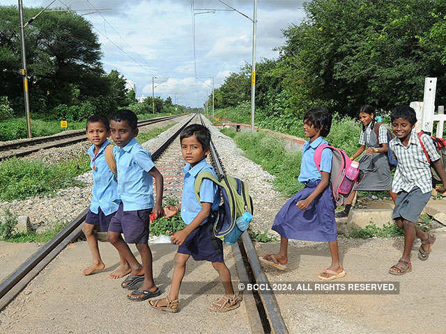
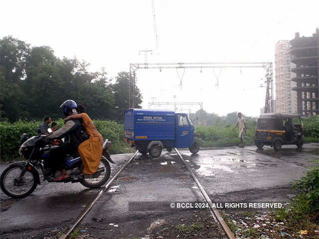
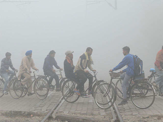
Safety at unmanned level crossings
Safety at unmanned level crossings is a cause for concern for the railways as these crossings witness maximum accidents. The national transporter had explored various ways to address the issue before settling for the Isro system. There are about 7,254 unmanned railway crossings in the country which account for around 40% of accidents involving the railways. There are about 18,000 manned level crossings.
BCCL
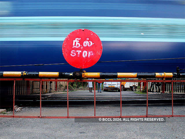
How it works
A hooter integrated with Isro's navigation system will be isntalled at an unmanned crossing. An IC chip will be installed on a train engine. The chip will get activated once a train is at a distance of 500 metres to 4km from the crossing. The hooter will go off as the train approaches, warning road users at the crossing and will fall silent after the train has passed.
The system will also help railways track train movement on a real-time basis. For example, it map the area covered by a train and find exact location of a train during accidents.
(Text inputs: Surendra Singh, TNN)
The system will also help railways track train movement on a real-time basis. For example, it map the area covered by a train and find exact location of a train during accidents.
(Text inputs: Surendra Singh, TNN)
No comments:
Post a Comment